Re: Roads of Daggerfall
Posted: Thu Jun 29, 2017 10:45 pm
The navgrids wouldn't be ideal for this, they only store weights rather than actual tile data. If you're looking for a lead-in point for roads, the Start Markers placed at city gates are a natural termination point.
And from there you can use the in-memory tilemap for the location to connect roads to the nearest available road tiles (index 46). Unlike the navgrid, this map has full tile information (even stuff like corners) and would be lot nicer to join with.
The navgrids are made by combining an inverse of the automap to carve out space for buildings and then weighting by tile type (e.g. NPCs might prefer nice roads over dirt). It's a pretty cool resultant set of data though. I'm seriously considering having the 3 major cities professionally printed and framed for our gaming space. 
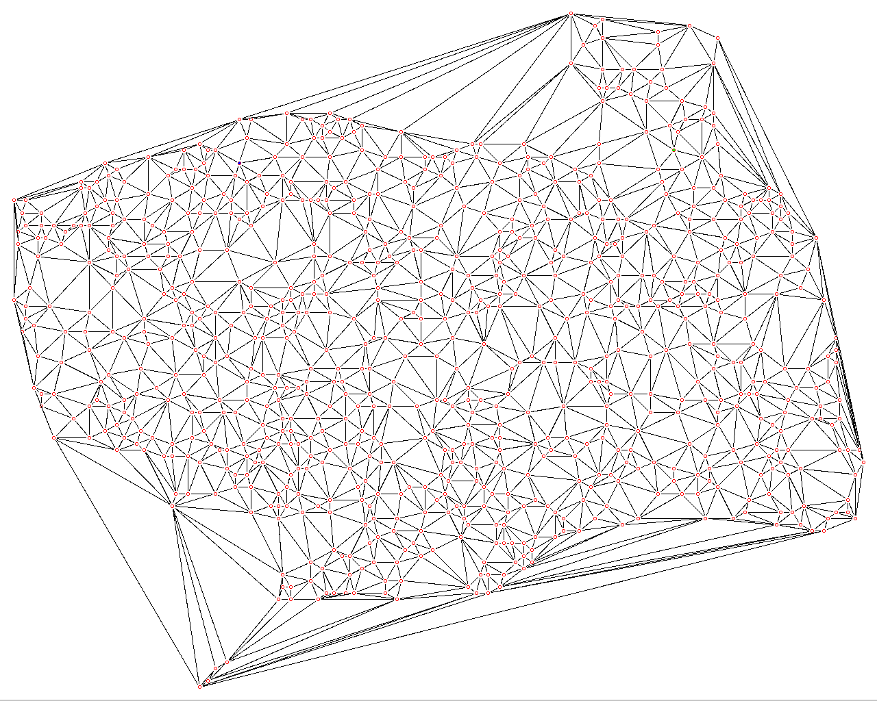
- start-marker.jpg (67.3 KiB) Viewed 6733 times
- tilemap.jpg (82.55 KiB) Viewed 6733 times